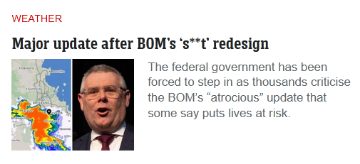
1. What do you think of the new BOM website?
It looks like it is intended to first meet the needs of someone living in capital city urban bliss. The greater majority of Australians. Possibly a cohort who have rarely looked beyond the first page of the old site, rather than asking those who make the most significant use of the site.
2. Do you think it is as easy to use as the old one?
No - and it’s not evident why such a dramatic change was necessary. The alternative BOM App already provides a relative degree of simplicity and ease of use. To suggest it already meets the basic needs of most BOM users.
3. Can you easily find the weather information you are after?
Definitely not because the site has been dumbed down. Inappropriate for a resource which is most useful for those seeking informed details specific to their needs. I’ve never considered the BOM web site as the best place to go for a generalised weather prediction in advance of taking the lawn mower out. Although that information was there in the wordy forecasting by district and location. The App has been more than adequate.
A fear here that the BOM behind the new web page image is planing a transition to a user pays service for any wanting more than the current temperature and forecast of clouds or sunshine until sunset. Hopefully not - as the BOM is a service every tax payer’s funds have helped to develop and are continuing to fund.
Some further observations relative to how the old site was used.
My daily go to is the BOM App which I have installed on the mobile and tablet. It offers enough basic detail, elementary forecasts and a radar link to meet in the home/city needs.
When we have needed more, especially when there are major weather events or a need for data the bom.gov.au site home web page has always been essential. It was never perfect but met immediate needs once one was familiar with how the web pages had been designed and data was linked. One click on the top right labels took us straight to the Qld pages. An easy dive direct to what was important. To note this page can still be found indirectly with a bit of diving into the new site.
In respect of weather events our local waterways have a short and fast moving catchment. Water can rise and fall metres in a relatively short period of time. There are flood level triggers on the local streams for certain heights - however these relate more to the impact on major local roads than the back blocks and lesser roads. The new web pages design came as a surprise on Tuesday. Eventually the following old style page was found after several misleading attempts on the new site. I found a web “sitemap” in a lower information bar. However to note a search using that term on the new site was returning a link about BOM sites rather than the an indexed list of web pages.
A
And from this one can pull up any of the local stream level heights as well as catchment specific rainfall (unofficial rainfall data, but far more relevant than the less local official stations). Example follows taken at the time a historical record from the 22 floods. Of note that the local properties and road/s experience flooding once the local creek reaches around 1.6-1.8m (enough to cause the garbage service trucks to refuse to proceed to the end of the road which is underwater by that measure) although the recognised minor floor height is a far higher 3.25m.